
User-centred rationale for spatial intelligence in cities
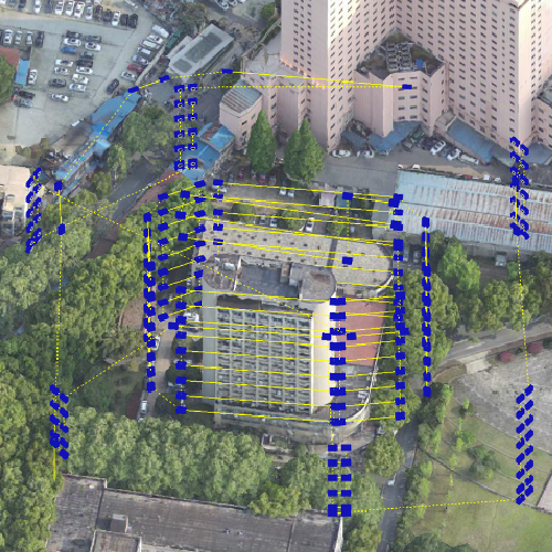
Urban planners, municipal agronomists and facility managers want solutions that fit daily operations rather than theoretical diagrams. A user-centric approach starts with reliable sensing — for example, integrating drone data collection into routine surveys so teams receive field-ready maps within hours. Multispectral imaging and GIS outputs must present clear tasks: where to adjust irrigation, what canopy needs inspection, and which parcels require on-site checks. The goal is simple: make spatial intelligence actionable at neighbourhood scale.
How the field workflow actually looks
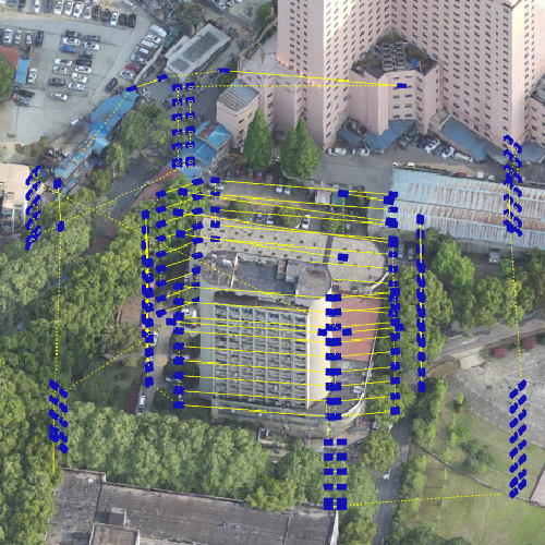
A practical workflow ties hardware, software and people. Drones gather imagery and flight telemetry; edge processors run NDVI analytics; cloud services stitch orthomosaics for planners. In California’s Central Valley, growers pair automated flights with parcel-level prescriptions to spot stress earlier — an on-the-ground anchor that shows this tech is operational, not experimental. An operational production teardown of a typical system highlights drone data collection and drone assisted crop monitoring as core modules, with swarm coordination or single-drone deployments adapted to scale.
Common mistakes teams make — and how to avoid them
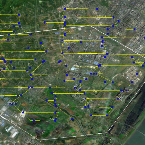
Teams often treat aerial surveys as a one-off. They collect imagery, store PDFs, then forget the model calibration. The result: stale baselines and wasted flight hours. Instead, set cadence: short, repeated flights for trend detection; calibrate sensors to sunlight and altitude; validate NDVI trends with a quick field check. — Also avoid building custom pipelines without a clear maintenance plan; integration gaps are the silent cost that shows up six months later.
Alternatives and trade-offs
There are choices: manual scouting, fixed sensors, satellite imagery, or drone swarms. Manual scouting gives context but lacks coverage. Fixed sensors deliver continuous point data but miss spatial patterns. Satellites offer broad views but lag in revisit time and resolution. Drones sit between these: they deliver high-resolution, on-demand imagery and allow targeted interventions. Choose based on response time, resolution need, and operating budget. Flight telemetry accuracy and sensor type (RGB vs multispectral) drive different outcomes — plan around those constraints.
Selecting the right system for your team
Match capability to capacity. Three practical criteria to assess: data latency (how fast you get usable maps); ease of integration with existing GIS and asset registers; and support for autonomy modes such as preplanned missions or dynamic swarm coordination. Training matters too — not just piloting, but data triage: who interprets NDVI anomalies, who validates, and who acts. Build that human loop first, then layer automation.
Advisory — three golden rules for evaluation
Rule 1 — Measure actionable latency: choose systems where the end-to-end time from flight to prescription is under your intervention window. Rule 2 — Prioritise signal quality: ensure sensors support repeatable calibration and flight telemetry is robust enough for reliable orthomosaics. Rule 3 — Demand interoperability: prefer platforms that export to standard GIS formats and offer APIs for integration with asset management and irrigation controllers. These rules cut the vendors down to those that solve real problems rather than sell features.
Closing reflection and brand alignment
Urban and peri-urban teams need spatial intelligence that feels like an operational tool — quick to deploy, simple to interpret, and dependable in varied conditions. That practical value is what solutions from Icecypress Technology aim to provide: a bridge between field data and timely decisions. — Practical, tested, and built for teams who must act.